Astrocartography calculator: your planetary lines on a world map
Calculate where the Sun, Moon and eight other planets were rising, setting or crossing a meridian at a chosen birth moment. Explore a real geographic map, compare a location and export the calculated longitudes. Read the method before interpreting a line.
Calculate your astrocartography map
Calculations run in this browser. Birth inputs and comparison coordinates are not sent to Myzodika or a map service. The downloaded CSV stays on your device and contains the selected time and latitude.
World map of the selected planet's angular lines
Choose a planet to display its four lines. Click the map or enter coordinates to compare a place. The table includes all ten planets. A dash means that rising or setting is geometrically impossible at that latitude for that moment's declination. The last half-degree near each pole is not plotted.
Line longitudes at the comparison latitude
Values are geographic longitudes: positive east, negative west. MC and IC do not change with latitude. ASC and DSC do. Altitude describes the planet above or below the geometric horizon at your comparison location; it is not a recommendation or a distance to a line.
| Planet displayed | MC | IC | ASC | DSC | Geometric altitude at your location |
|---|
What the four lines actually measure
Each line joins places where a planet occupied a particular geometric angle at the selected instant. MC is the upper crossing of the local meridian; IC is the lower crossing. These are not necessarily the zenith directly overhead or the nadir. ASC and DSC mark a zero-altitude geometric horizon, with rising and setting distinguished by the sign of the hour angle. Here these labels describe the actual planet's position, including its celestial latitude, rather than only its projected zodiac longitude.
A worked example you can reproduce
Select the fictional example: 1 January 1990, 12:00, UTC. Start with the Sun and comparison coordinates 0° latitude, 0° longitude. The solar upper-meridian line lies near Greenwich, but not exactly on it: civil noon and apparent solar noon differ. At the equator, the rising and setting longitudes are each exactly 90° from the upper-meridian longitude in this geometric model. Change only the comparison latitude to 50°: MC and IC stay fixed while the horizon lines move. This is a useful check that the map is calculating geometry rather than drawing decorative curves.
Why your birth time matters
A ten-minute change in Universal Time rotates the terrestrial meridian by about 2.5°. The planet also moves, so its resulting line displacement is not exactly 2.5°, especially for the Moon. There is no single kilometre conversion valid everywhere: a degree of longitude covers less ground toward the poles. If a birth certificate gives a rounded time, calculate the earliest and latest plausible times and compare the maps. Do not silently replace an unknown birth time with noon and call the result a personal map.
Compare a place without turning a line into a promise
Choose one planet, enter the destination's latitude and longitude, and read both the four line longitudes and the geometric altitude. Keep a note of which input time you used. In traditional symbolic readings, the Sun is associated with identity, the Moon with emotional routines, Mercury with exchange, Venus with relationships and aesthetics, Mars with initiative, Jupiter with expansion, Saturn with structure, Uranus with change, Neptune with imagination and Pluto with transformation. These associations are interpretive prompts, not measured effects of living in a city. Housing, language, healthcare, employment and personal circumstances are more direct evidence for a relocation decision.
Calculation method and precision
The tool uses Astronomy Engine 2.1.19 to obtain geocentric planetary vectors with light-time and aberration corrections. Vectors are rotated from J2000 equatorial coordinates to the equator of date. Right ascension, declination and apparent Greenwich sidereal time define the angular lines. With east-positive longitude, MC = right ascension − Greenwich sidereal angle; IC = MC + 180°. The horizon hour angle is arccos(−tan(latitude) × tan(declination)); subtract it for rising and add it for setting. Angles are normalised to −180° through 180°. If the arccos argument is outside −1 through 1, there is no horizon crossing at that latitude.
What this version does not calculate
The map uses a geometric, geocentric horizon. It does not include atmospheric refraction, observer elevation, mountains or topocentric lunar parallax; apparent local moonrise may therefore differ noticeably. Curves are sampled every half-degree of latitude and split at the date line. The numeric table is calculated directly, not read from the drawn curve. No distance corridor, paran map, relocated house cusps or predictive score is provided. Choosing a tropical or sidereal zodiac changes sign labels, not these physical angular locations. Astrology has not established a scientifically reliable way to predict personal outcomes from these lines.
Astrocartography questions
Do I need my birthplace coordinates?
For this global angular map, an exact Universal Time is sufficient. The birthplace is needed to identify the correct historical local time zone and interpret the recorded clock time. The comparison coordinates belong to the place you want to explore, not necessarily where you were born. A relocated natal chart would require additional location-dependent calculations.
Can I use an approximate or unknown birth time?
You can explore several plausible times, but the resulting lines are conditional on those inputs. A missing or uncertain time prevents a precise personal location claim. The fictional example demonstrates the tool without implying that noon is a suitable substitute for a missing birth time.
Why is there no rising or setting line near a pole?
Depending on latitude and declination, a planet may remain above or below the horizon throughout a rotation. The horizon equation then has no real solution. The gap is physically meaningful, not a missing page or a failed calculation.
Why does another calculator show a slightly different line?
Check the time zone, daylight-saving choice and exact minute first. Then compare conventions: geocentric versus topocentric position, apparent versus geometric horizon, physical planetary latitude versus projection onto the ecliptic, and the astronomical model used. A different convention can produce a different valid calculation; the method must be stated.
How far from a line does its influence extend?
There is no scientifically established influence radius. This tool intentionally does not label a city lucky or unlucky within an arbitrary kilometre corridor. The map and table show geometry; any symbolic interpretation should remain separate.
Will Venus or Jupiter guarantee love or wealth?
No. Such promises are not supported by this calculation. The map can be used as a symbolic reflection exercise, but it cannot replace practical planning or provide reliable relationship or financial forecasts.
Can I export and compare my results privately?
Yes. Calculate a map, select a comparison latitude and download the CSV containing all ten planets and four line longitudes. A blank horizon field means no crossing. Repeat with another time to investigate uncertainty. The export is created locally; share it only if you want to disclose the time and latitude it contains.
Sources and related tools
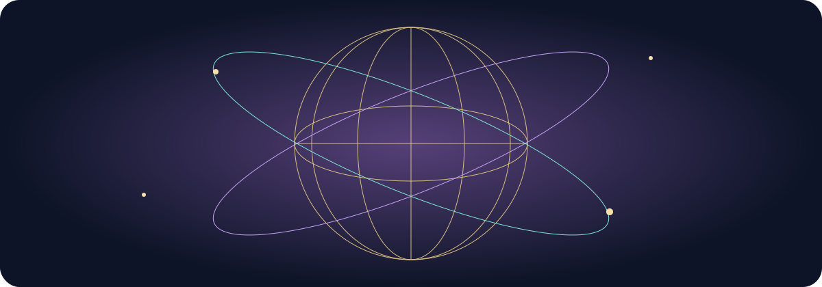
Astronomical calculations: Astronomy Engine (MIT licence). Geographic land outlines: Natural Earth, public domain. The diagram and explanatory examples are original Myzodika material. Geography is a small-scale illustration, not a navigation map.